Geosens™ is an intelligent multi-source data capture, analysis and reporting solution for real-time geotechnical condition monitoring and risk management.
Meeting industry needs
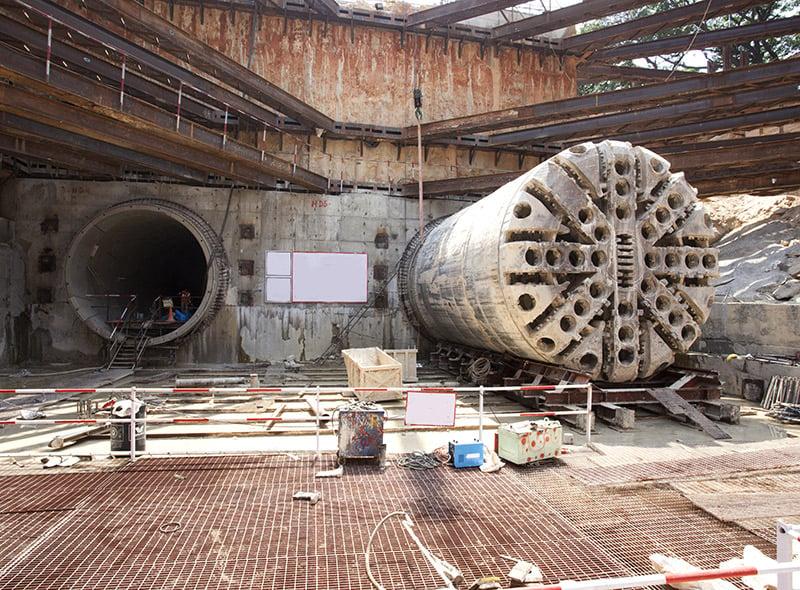
Geosens is tailored to meet geotechnical condition monitoring and risk management needs across the lifecycle of major assets, from delivery to operations and predictive maintenance.
It equips teams to accurately measure and monitor construction and operational impacts on the ground and adjacent structures.
Automated and customisable, Geosens replaces the time-consuming manual management of capturing, inputting, storing, analysing and reporting on vast amounts of data.
The solution enables teams to use real-time intelligent data dashboards and alerts, and efficiently meet project, client and government monitoring and reporting requirements.
Geosens is the first instrumentation and monitoring vertical in IDD Tech’s Sensgrid platform.
Sensgrid, is a whole-of-life, project and risk management platform for major assets, including roads, rail, tunnels and processing plants. The data acquisition and intelligent reporting solution connects numerous data sources, including internet of things (IoT) and sensor networks.
Application
First developed as Geoview in 2014, the advanced version, Geosens, is in use on some of Australia and Asia Pacific’s largest and most complex projects in the roads, rail, tunnelling, and building sectors.